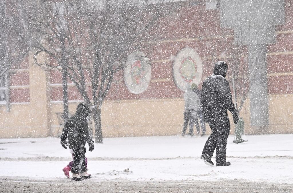
Steve Chaney stands on April 19, 2022, among the remnants of a bridge that was washed out from 2021’s Tropical Storm Fred along the East Fork of the Pigeon River in Cruso, in southeastern Haywood County. Colby Rabon / Carolina Public Press
Later this year, the first of 18 flash flood warning sirens will be installed at the Cruso Fire and Rescue department in southern Haywood County. One of just three siren systems in Western North Carolina, local leaders hope the devices will save lives in a region vulnerable to flash floods from tropical rain systems.
The new system is on track to be operational by early 2026, said Cody Grasty, Haywood County’s recovery and resilience officer. The $700,036 warning system is funded by the NC Department of Public Safety through the Tropical Storm Fred Unmet Needs Grant. Each tower will require about $500 annually for maintenance.
On August 17, 2021, remnants of Tropical Storm Fred, which formed over the Gulf of Mexico, settled over the high ridges of Haywood County, unleashing 14 inches of rain in 12 hours. Cruso, an unincorporated community stretched along the East Fork of the Pigeon River, was hardest hit by a flash flood. A stream gauge on the East Fork exceeded its highest mark by more than 3 feet, surging more than 2.5 feet in 30 minutes, leading to flash floods and triggering landslides.
While Haywood County continues to recover from widespread devastation from Tropical Storm Helene, the scars inflicted by Fred still linger in Cruso.
“We’d never really been through anything like Fred,” said Tim Henson, a lifelong Cruso resident and the community’s fire and rescue chief. Steep slopes and rocky soil couldn’t absorb the deluge, which unleashed a torrent of debris and water; too fast for many to reach higher ground. The flash flooding swept away homes, washed over bridges, claimed the lives of six and forced the rescue of dozens.
After Fred, Henson and other Haywood County emergency responders were determined not to let a flash flood from the next storm catch their communities off-guard. “We decided there was a great need for some type of warning system to notify people so they can get to higher ground,” Henson said.
Hours before flood water arrived during Tropical Storm Helene last September, Henson and his rescue crew rushed through the winding stretch of U.S. 276, which includes roughly nine miles of vulnerable terrain along the East Fork, blaring fire engine sirens and banging on doors to warn the roughly 2,300 residents to evacuate. Five residents of Haywood County perished in Helene-related flooding, but none in Cruso. Grasty said the Cruso Fire and Rescue Department early action saved lives.
Unlike Fred, Henson’s team had more warning ahead of Helene. However, the future siren system, triggered by a new array of river gauges, will sound alarms faster and reach more people than a handful of rescue vehicles.
The siren towers will be placed in flood-prone areas, such as Cruso. Locations were selected based on flood risk and the impact of past storms. Each of the 18 towers will be spaced roughly ½ to 1 mile apart and can be sounded by sensors on river gauges when the water level reaches a certain point or triggered manually by Haywood County’s emergency management team.
In addition to radio and television broadcasts, flash-flood warnings are communicated through cell towers via the National Weather Service, but during Fred, Cruso’s cellular tower failed, cutting off most residents. Sandwiched between steep, federally owned ridges, the community struggles with spotty cell coverage even in good weather.
“The system creates another tool to alert people and let them know they need to take action,” Grasty said.
Cruso resident Steve Chaney is appreciative of the siren system. “I think it’s a great thing. When we got hit with Fred it was total chaos. We knew heavy rain was coming, but we weren’t prepared for how fast and hard the flooding came. I’ve never seen anything like it,” Chaney said, who narrowly escaped as two branches of Hungry Creek overflowed and surrounded his home, which incurred significant damage.
The AP reported that warning sirens in Comfort, Texas, on the Guadalupe River were critical to saving lives there this summer.
But the strength of any siren warning system depends on its reliability and the action of residents.
Steve Wilkinson, meteorologist in charge of the National Weather Service’s Greenville-Spartanburg station, and forecaster Jared Klein told CPP in an email that a challenge of a siren system is ensuring residents understand the warning and how to react.
“Communities benefit most when warning tools are supported by outreach, drills and strong local partnerships. The warning system is a good step forward and addresses a specific situation that has happened and could happen again,” they said.
The siren system will be one of several mechanisms to alert residents of potential flooding, Grasty said. Fire and rescue stations, which often serve as community centers and informal town halls, will educate residents and provide information about the siren system. Grasty suggested that every household have an emergency plan and encouraged residents to sign up for “Haywood Alerts” to review flood safety plans and create preparedness checklists.
Another potential obstacle is the risk of false alarms, which can lead to complacency. Overlapping alerts, such as a tornado warning issued with a flash flood warning, can also create confusion about what action to take.
Sirens can also be difficult to hear indoors or trees and building materials can muffle sound. Each of the solar-powered towers generates about 60 decibels of sound from a mile away, which is roughly equivalent to a TV set from an adjacent room.
Wilkinson and Klein said people are also more likely to react if they believe an activation relates directly to them and where they live.
Based on securing future funds, the county hopes to install additional towers and strengthen other aspects of the county’s flood warning system and capacity to respond to flash floods.
Ecological Engineer Bill Hunt, N.C. State University’s William Neal Reynolds Distinguished University Professor & Extension Specialist, said “at 2 or 3 inches of rain, there are things that can be done” to slow down or divert run-off, but “there’s going to be massive flooding no matter what” during extreme rain events, such as Fred or Helene.
It’s possible that future storms will pack even more rainfall due to a warming climate. A climate attribution study, for example, estimated that rainfall totals during Helene were at least 10% heavier due to climate change. “It’s simple physics,” Hunt said. “A warmer atmosphere can hold more water.”
Hunt explained that one of the challenges in the mountains is rainfall doesn’t distribute evenly. Therefore, warning residents with greater geographic precision and moving people out of harm’s way may be the best strategy.
Future warning systems, he believes, will have even better geographic accuracy. “The technology’s getting to a point where we’ll be able to predict, personalize, and refine exactly where the water will rise and how high it will be,” he said.
“From my perspective, it’s fabulous that Haywood County is engaging in this, and I hope more communities follow suit.”
Related: 11 extreme North Carolina weather events caught on tape
Author
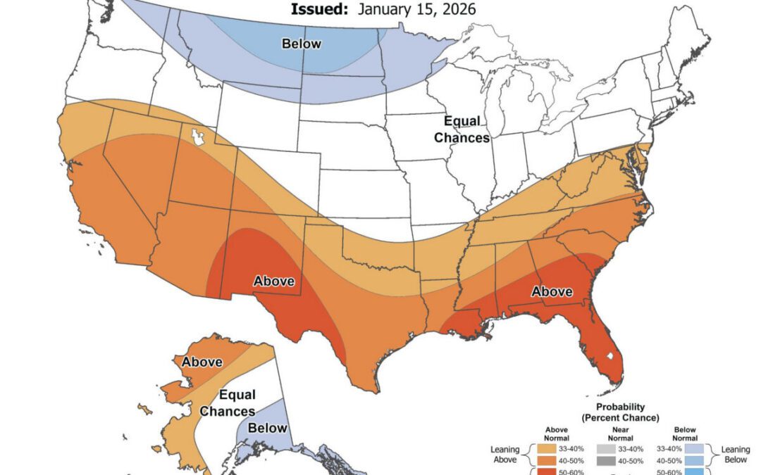
Will it be a warm spring in NC? See NOAA 2026 long-range forecast
Just over a month before the official start of spring, here's what weather forecasters are predicting for NC. As we head into February, the National...
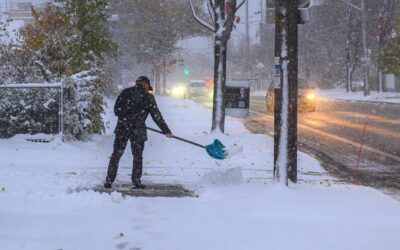
Arctic blast incoming to North Carolina. Will there be snow or ice?
North Carolina will experience a deep shot of Arctic air this weekend, bringing frigid temperatures, gusty winds, and pockets of snow across the...
What a bomb cyclone is—and why North Carolina keeps seeing extreme weather
Back-to-back winter storms are testing North Carolina’s power grid. Across North Carolina, the signs of another winter storm were hard to miss: snow...
What a bomb cyclone is—and why North Carolina keeps seeing extreme weather
Back-to-back winter storms are testing North Carolina’s power grid. Across North Carolina, the signs of another winter storm were hard to miss: snow...
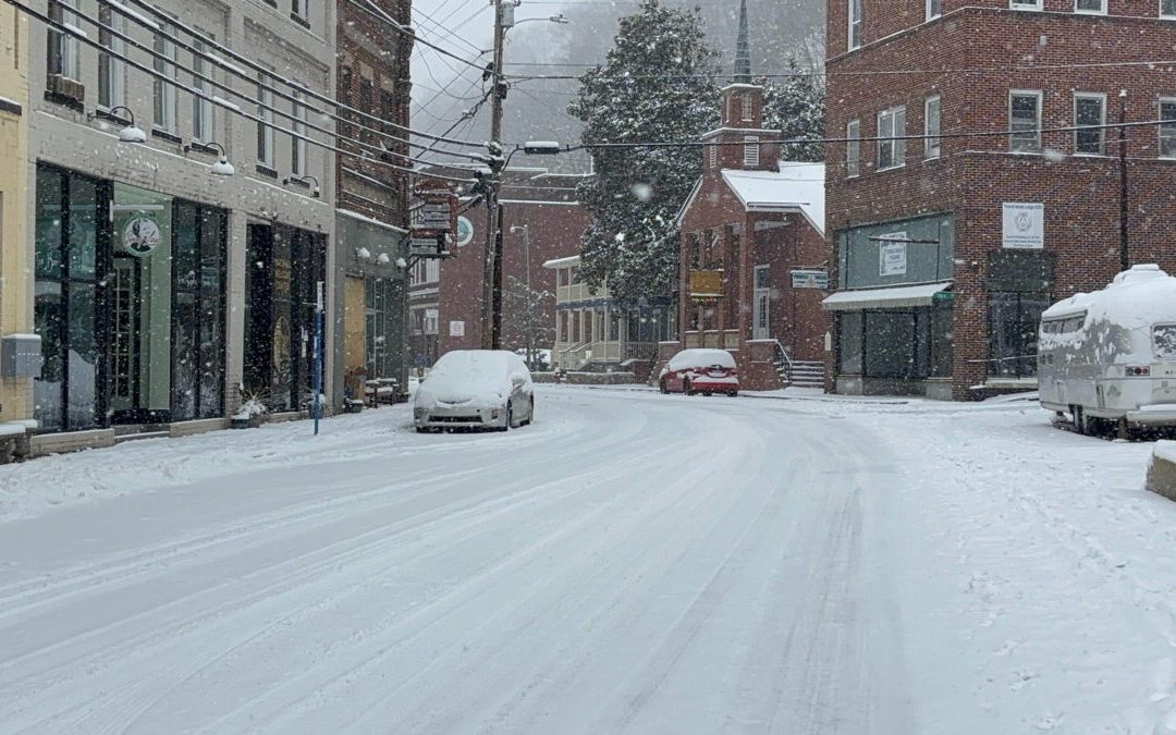
A ‘bomb cyclone’ could drop snow on North Carolina this weekend
These storms can produce heavy snow, strong winds, and coastal flooding, making them a major winter weather threat for areas along the Atlantic...